How to cut a netcdf file
Added by pooran khedri about 7 years ago
Hi everybody,
I have a bathymetry all aver the word, I need to cut the specified region in this file.
could you please explain to me how to do it with cdo?
Thank you in advance?
Best regards,
Pooran
Replies (15)
RE: How to cut a netcdf file - Added by Karin Meier-Fleischer about 7 years ago
Hi Pooran,
have a look at the CDO documentation and FAQ
[[https://code.mpimet.mpg.de/projects/cdo/embedded/cdo.pdf]]
[[https://code.mpimet.mpg.de/projects/cdo/wiki/FAQ]]
cdo -sellonlatbox,lonmin,lonmax,latmin,latmax infile outfile
-Karin
RE: How to cut a netcdf file - Added by Muhammad Ramzan over 2 years ago
Hi Karin is it possible to crop the NetCDF file using a country or any other shape file.
Thanks
RE: How to cut a netcdf file - Added by Karin Meier-Fleischer over 2 years ago
Hi Muhammad,
a few days ago, we had a similar question, see issue https://code.mpimet.mpg.de/boards/1/topics/13551.
RE: How to cut a netcdf file - Added by Muhammad Ramzan over 2 years ago
Thanks
I have gone through this post https://code.mpimet.mpg.de/boards/1/topics/13551.
will the final output be in NetCDF form or in raster image. I want the croped image to be in NetCDF form.
mkdir -p $HOME/data/DCW
cd $HOME/data/DCW
wget ftp://ftp.soest.hawaii.edu/dcw/dcw-gmt-2.1.1.tar.gz
export DIR_DCW=$HOME/data/DCW/dcw-gmt-2.1.1
For this example create a file with global topography data used as input file and in the second step mask India using the maskregion operator:
cdo -f nc -topo topo.nc
cdo -sellonlatbox,67,98.5,7.5,36.5 -maskregion,dcw:IN topo.nc o.nc
Where do I run these commands. I am new to this as I am Economics student, my appologies for this basic question.
Thanks
RE: How to cut a netcdf file - Added by Karin Meier-Fleischer over 2 years ago
It depends on your input data file format, if it is netCDF the output file will also be netCDF. If it is GRIB than you have to use the option e.g. '-f nc' as in the given example above to generate a netCDF output file.
RE: How to cut a netcdf file - Added by Muhammad Ramzan over 2 years ago
Thanks
where I can input the commands please which software I have to install and can these commands works a large number of files or I have to do one by one please
RE: How to cut a netcdf file - Added by Karin Meier-Fleischer over 2 years ago
First, the command have to be run in a terminal. The commands are explained in the mentioned example. You have to download the DCW dataset and then use CDO with it in a terminal. If you have to install CDO too then see https://code.mpimet.mpg.de/projects/cdo/wiki#Installation-and-Supported-Platforms.
RE: How to cut a netcdf file - Added by Muhammad Ramzan over 2 years ago
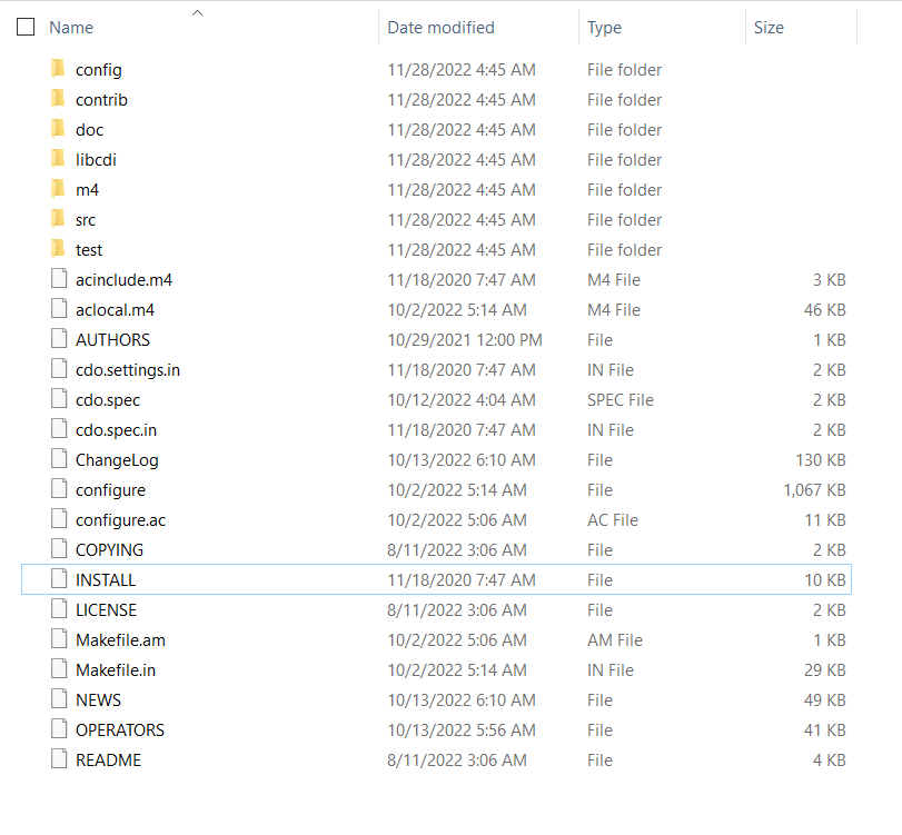
Thanks I have downloaded the CDO but there is no installation file, is there any video on this , which I can follow please.
RE: How to cut a netcdf file - Added by Karin Meier-Fleischer over 2 years ago
Are you using Windows 10? Read the docu at https://code.mpimet.mpg.de/projects/cdo/wiki/Win32 or otherwise https://code.mpimet.mpg.de/projects/cdo/wiki#Installation-and-Supported-Platforms
RE: How to cut a netcdf file - Added by Muhammad Ramzan over 2 years ago
Hi
I am able to install the CDO
but when I run the command
wget ftp://ftp.soest.hawaii.edu/dcw/dcw-gmt-2.1.1.tar.gz
I am getting the error message, please
RE: How to cut a netcdf file - Added by Karin Meier-Fleischer over 2 years ago
Maybe you can use a browser that is able to ftp the file.
RE: How to cut a netcdf file - Added by Muhammad Ramzan over 2 years ago
thanks
what is not working as well.
I am able to run these commands that is I am able to crop the NetCDF file based on the min and max lat & longi values.
cdo -sellonlatbox,60,78,22,37 air.2021.nc Ct_2021.nc
cdo -sellonlatbox,60,78,22,37 air.2020.nc Ct_2020.nc
cdo -sellonlatbox,60,78,22,37 air.2019.nc Ct_2019.nc
I have attached the share file , how I can crop the netcdf file using the attached shape file.
Thanks
RE: How to cut a netcdf file - Added by Muhammad Ramzan over 2 years ago
Hi I am unable to download the file directly please help
RE: How to cut a netcdf file - Added by Karin Meier-Fleischer over 2 years ago
There are many examples 'how to use shapefile for masking' in the CDO forums - just google your question.
