Regrid and interpolate NetCDF file without a geographic coordinate system
Added by Nathanael Harwood almost 9 years ago
Hi all -
I'd appreciate any help with this - I'm trying to regrid a NetCDF file without a geographic coordinate system that just uses gridbox coordinates (no lat/long), to the same grid as another file.
The grid of the file to be changed is an 88x88 National Met Centre Limited-Area half mesh grid, which is apparently 'a Cartesian grid with spat resolution 190.5km at a standard parallel of 60 degrees, draped over a polar stereographic projection'. Grid cell size increases towards the pole.
I can't figure out which operator I should use to regrid the file and interpolate the values to the new grid. New grid used should be the ECMWF format which has worked well in my code - I'll upload both files.
Many thanks,
Nathanael
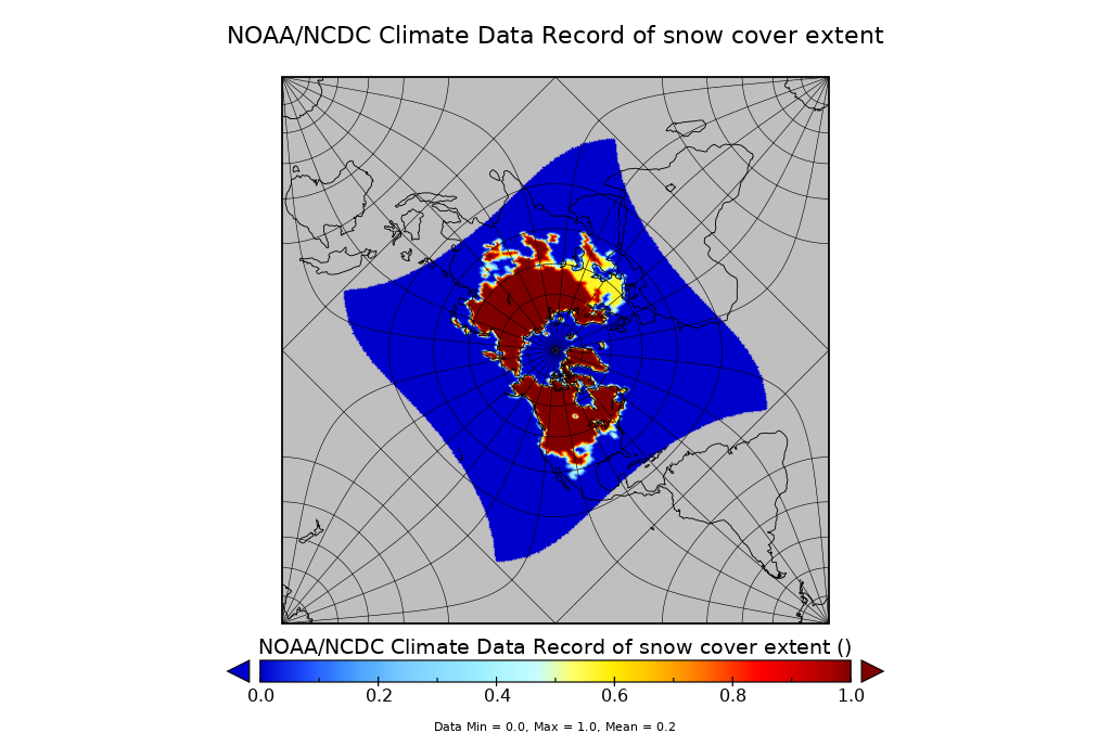
| NOAA_Snow_JanJune2016.nc (5.5 MB) NOAA_Snow_JanJune2016.nc | NMC limited area half mesh grid to be regridded | ||
| SeaIce_Jan-June2016.nc (13 MB) SeaIce_Jan-June2016.nc | ECMWF sea ice file- format to be adopted |
Replies (3)
RE: Regrid and interpolate NetCDF file without a geographic coordinate system - Added by Karin Meier-Fleischer almost 9 years ago
Hi Nathanael,
cdo -r -remapbil,SeaIce_Jan-June2016.nc NOAA_Snow_JanJune2016.nc NOAA_Snow_JanJune2016_regridded.nc
should do what you want.
-Karin
RE: Regrid and interpolate NetCDF file without a geographic coordinate system - Added by Ralf Mueller almost 9 years ago
BTW: your input has perfect lon/lat
RE: Regrid and interpolate NetCDF file without a geographic coordinate system - Added by Nathanael Harwood almost 9 years ago
Thank you both. This forum literally shaves hours, days off the time it takes me.
The file now functions perfectly in my R code (written using ECMWF files), so it's much appreciated!