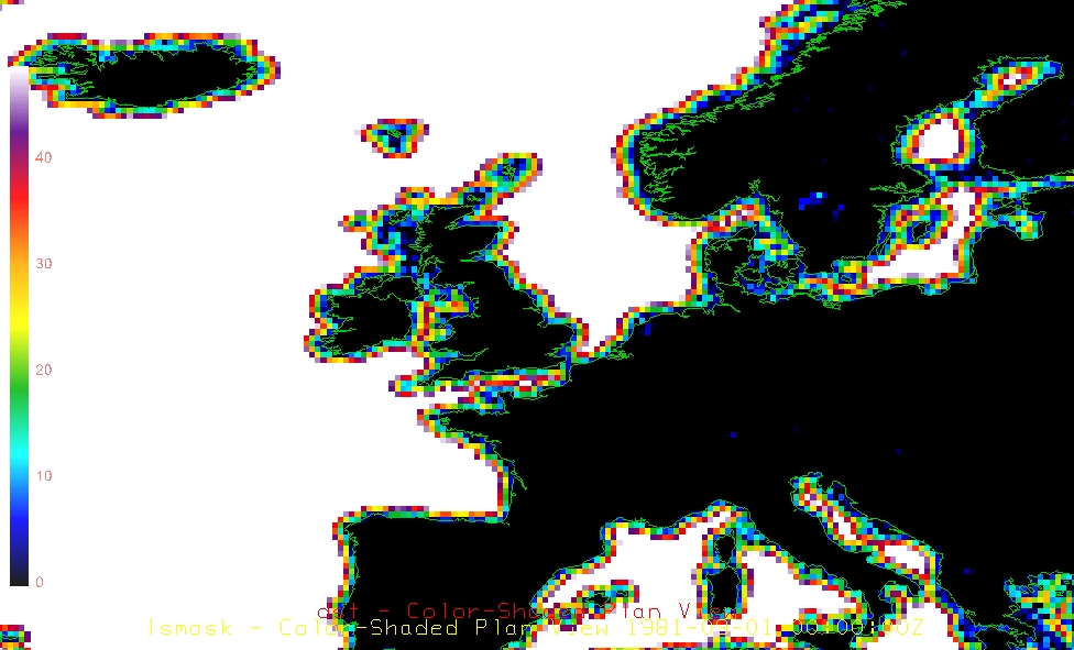
Land-Sea Masking
Added by Theodoros Gkousarov almost 12 years ago
HI All,
First to mention that I ve gone through the forum threads and couldnt solve my issue.
I have one Land Sea mask file ( Sea=1 , Land =0) and one file with solar radiation values.
I need to mask the solar radiation file so that it only includes values over the Land.
Attached are both files if someone wants to give it a quick try.
ps: does anyone have a much higher resolution version of land-sea mask?
| finalmask.nc (892 KB) finalmask.nc | |||
| CLIMATO0310sum.nc (894 KB) CLIMATO0310sum.nc |
Replies (9)
RE: Land-Sea Masking - Added by Jaison-Thomas Ambadan almost 12 years ago
try
cdo -f nc -setmissval,0 -mul -eqc,0 finalmask.nc CLIMATO0310sum.nc ofile.nc
PS: you don't need to use -setmissval,0 if you want to keep zeros in the ocean.
RE: Land-Sea Masking - Added by Jaison-Thomas Ambadan almost 12 years ago
you can create an approximate high resolution mask using topo operator, like:
cdo -P 8 -f nc2 -gtc,0 -remapcon,r2880x1440 -topo seamask.nc
RE: Land-Sea Masking - Added by Theodoros Gkousarov almost 12 years ago
Thanks it worked.
Here is a new more interesting challenge though
This file (link) contains a much higher resolution land sea mask, but it also contains the distance from the sea in Km (not completely sure of the units).
How can I make it work as the above example but only for the mask which has 0 values?
https://www.ghrsst.org/products-and-services/tools/navo-ghrsst-pp-land-sea-mask/
| Super_mask.jpg (314 KB) Super_mask.jpg |
RE: Land-Sea Masking - Added by Theodoros Gkousarov almost 12 years ago
Interesting about this TOPO function,
but I get this error
Option -P failed, OpenMP support not compiled in!
RE: Land-Sea Masking - Added by Theodoros Gkousarov almost 12 years ago
Could you run the command, create the file and upload the file here for me since my OpenMP function doesnt work?
cdo -P 8 -f nc2 -gtc,0 -remapcon,r2880x1440 -topo seamask.nc
cheers for the help
RE: Land-Sea Masking - Added by Jaison-Thomas Ambadan almost 12 years ago
if the OpenMP support not compiled-in, you can still use the command without the -P 8 option - it'll be a bit slower, that's all.
regarding the navo-ghrsst-pp-land-sea-mask:
just download the the mask file from the website:
cdo -f nc2 -copy lsmask-world8-var.dist5.5.nc mymask.nc
cdo -f nc2 -sellonlatbox,-12,5,49,61 mymask.nc template.nc
cdo -b F64 -f nc2 -setmissval,0 -mul -eqc,0 template.nc -remapbil,template.nc CLIMATO0310sum.nc ofile.nc
RE: Land-Sea Masking - Added by Theodoros Gkousarov almost 12 years ago
It Works!!!
However, the file produced using a sea mask is about 20x bigger than the original. It seems weird since I would expect smaller files since theres a mask.
For example the daily SSR climatology is 8GB and when I apply the mask it is 250GB. :/ Any way to fix this?
cheers for the help.
RE: Land-Sea Masking - Added by Jaison-Thomas Ambadan almost 12 years ago
you do NOT need to use "-b F64" (double precision), and you could use "-f nc4" (if it's compiled in) or GRIB ("-f grb") format for the output file - this may help you to reduce the file size.
RE: Land-Sea Masking - Added by srinivasu upparapalli almost 11 years ago
I have created a netcdf format land-sea and basin mask from the following datasets
https://www.nodc.noaa.gov/OC5/woa13/masks13.html
The netcdf file (0.25 degree resolution attached).
| basinmask_04.msk.nc (3.96 MB) basinmask_04.msk.nc |