assign coordinates
Added by kunal bali almost 7 years ago
Dear CDO users,
How could I assign the latitude and longitude coordinates of the attached file.
regards
Kunal
Replies (3)
RE: assign coordinates - Added by kunal bali almost 7 years ago
The coordinates of the given file are in cartesian coordinates. So how could we change into lat-lon coordinates.
#
gridtype  = generic
gridsize  = 56637
datatype  = float
xsize     = 261
ysize     = 217
xname     = jx
xlongname = "x-coordinate in Cartesian system"
xunits    = "m"
yname     = iy
ylongname = "y-coordinate in Cartesian system"
yunits    = "m"
xfirst    = -3250000
xinc      = 25000
yfirst    = -2700000
yinc      = 25000
RE: assign coordinates - Added by Karin Meier-Fleischer almost 7 years ago
Hi Kunal,
in my opinion there is no way to convert cartesian coordinates to geographical coordinates with CDO.
-Karin
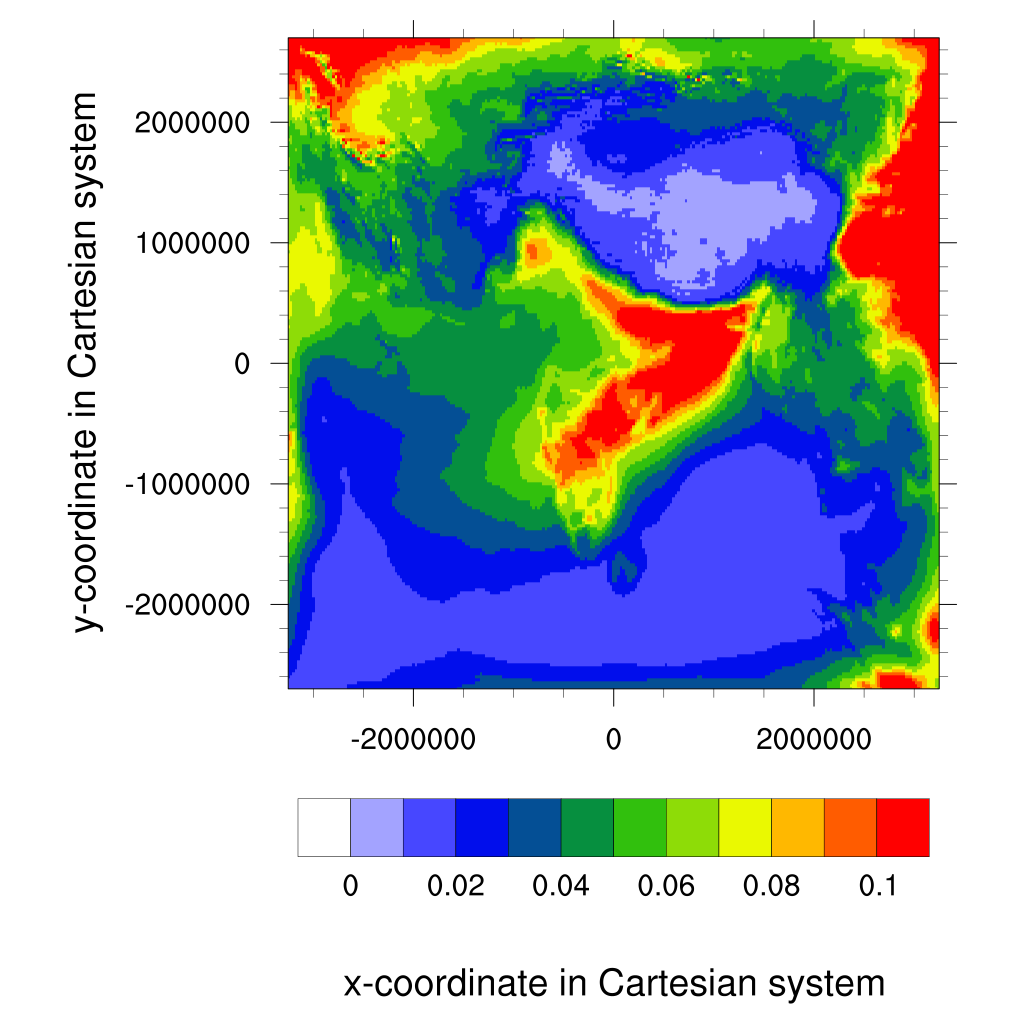
RE: assign coordinates - Added by kunal bali almost 7 years ago
I am able to plot in NCL but the coordinates of the map ranging from -2000000 to +2000000.
-Kunal