Flooding values over the ocean to the land
Added by Navajyoth Puthiyaveettil about 1 year ago
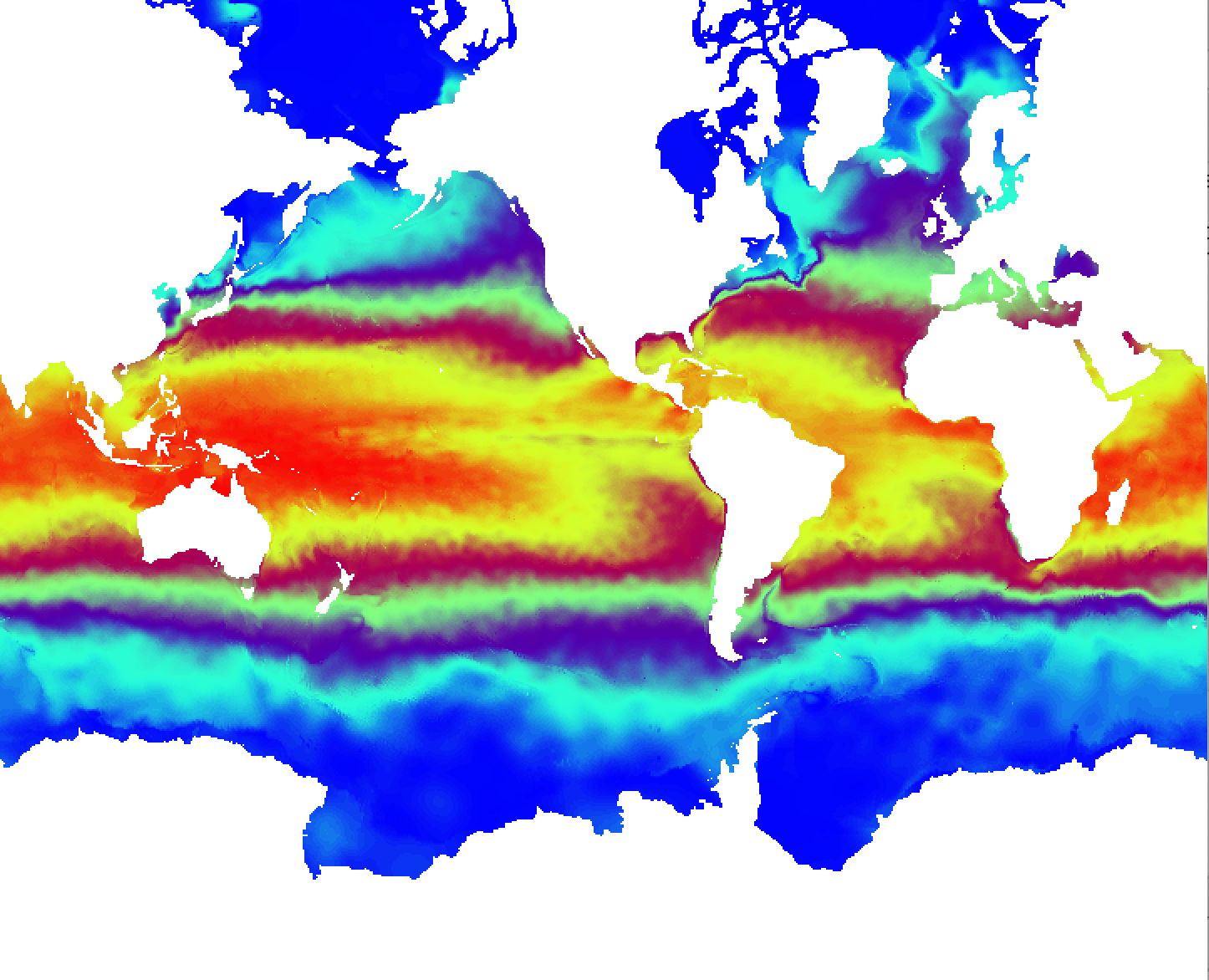
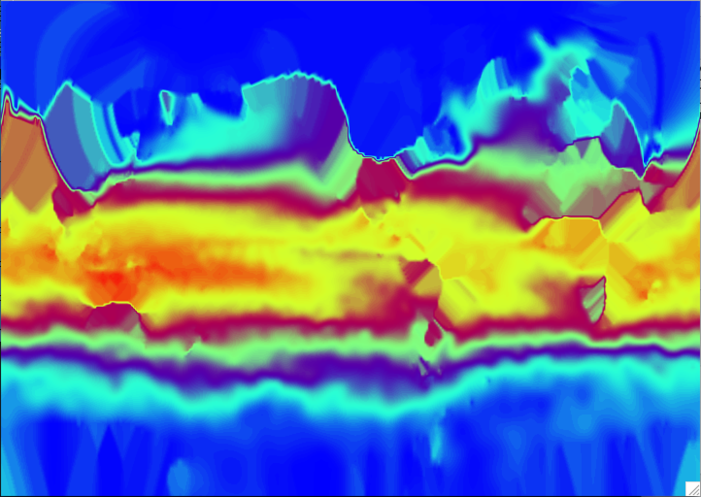
I need to make input files for a coupled model setup with fields such as sea surface salinity and sea surface temperature. I need the files to have values over the land as well. As the files are quite large, I have attached two images of SSTs (1 - a file where I have values over the land that someone else made for me, 2 - the file I want to interpolate onto the land which is on a grid a bit different to that of the first file). How do I use CDO for this? Basically, my requirement is to have the land points close to the coast to have values that are the same or very close to the nearest ocean points. I believe it doesn't matter what values I have deep inside the continents.
P.S. The files are on an unstructured, tripolar ORCA05 grid. File1 has the dimensions 720x510x46 (lon x lat x levels). File2 has extended latitudes, more levels, and has the dimensions 720x603x75.
Replies (1)
RE: Flooding values over the ocean to the land - Added by Uwe Schulzweida 12 months ago
A good way to fill the land data is the function setmisstonn, here the missing values are filled with the nearest neighbors.