cdo remapbil (Abort): gaussian grid without longitude coordinates!
Added by Yan Liu almost 6 years ago
Hello!
I would like to use the "remapbil" command to improve the resolution of TraCE surface temperature data, but there's a error as the title said.
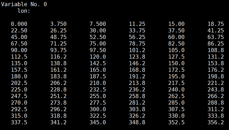
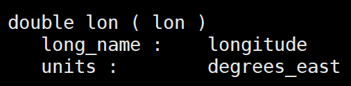
I have checked the varibale "longitude" of this data by "ncl_filedump", and this variable has values and attributes.
So I wonder why this error appearred and how to fix it?
Thanks,
Yan
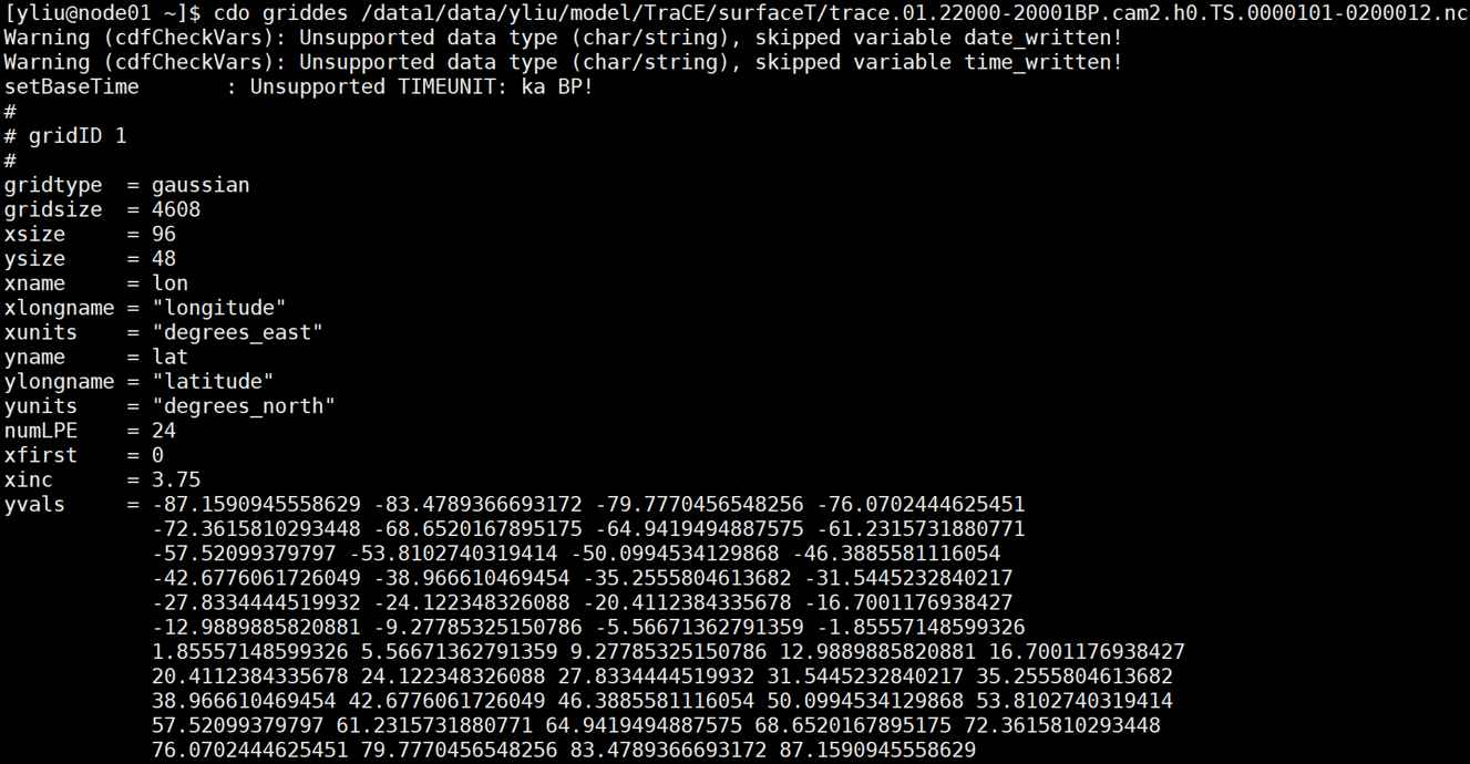
| griddes.png (409 KB) griddes.png | the gird description files of the TraCE data | ||
| remapbil.png (142 KB) remapbil.png | the remapbil problem | ||
| longitude.png (154 KB) longitude.png | values of the variable "longitude" | ||
| attribute_of_longitude.png (15 KB) attribute_of_longitude.png | attributes of "longitude" |
Replies (1)
RE: cdo remapbil (Abort): gaussian grid without longitude coordinates! - Added by Karin Meier-Fleischer almost 6 years ago
Hi Yan Liu,
the error message tells you exaclty what is wrong: the time dimension has unsupported time units 'ka BP'.
-Karin